
Fast-track.
Quickly build a tried-and-true risk management and trip planning toolbox.
Informed, or just lucky?
We don't always know when we've made the right decisions or just got lucky.
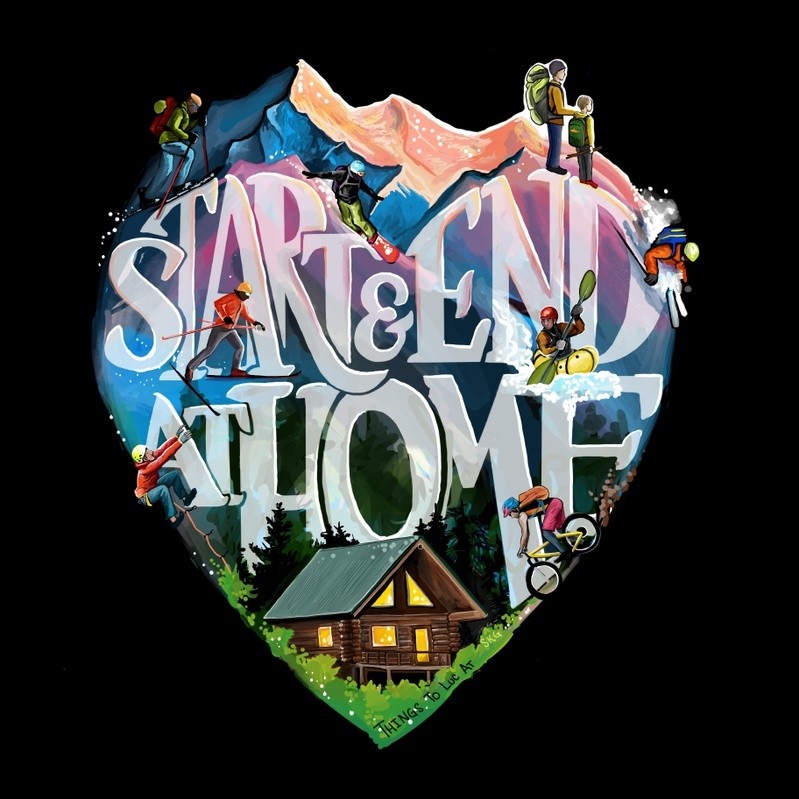
Start & End at Home is a skills accelerator: professional training and twenty years of hard-earned experience.
COURSE CONTENT
Wilderness Risk Management
Make tough decisions easier. Adopting a risk management framework will remove a huge weight from your shoulders. We'll borrow insights from multiple industries to find the right framework for you.
Environmental Hazards
We can't control environmental hazards like weather, rock fall, or rapids. But these hazards can be anticipated and planned for using a suite of online resources. Preparation builds resilience.

Route Planning & Digital Mapping
Create a digital map of your intended route and bailout plans.
- Google Earth
- Esri
- CalTopo
- Gaia/On X/FatMap

Near-real-time Satellite Imagery
Anticipate the current conditions based on recent satellite imagery.
- Sentinel
- Landsat
- MODIS

Weather History & Forecast
What happened last week and what can you expect during your outing?
- Windy
- Visual Crossing
- Environmental sensors

Navigation
Use your smartphone to navigate by satellite imagery and GIS layers.
- CalTopo
- Gaia GPS
- On X
- FatMap
The Human Factor
It turns out that anticipating environmental hazards is the easy part ... what goes wrong is almost always the human stuff like making decisions, managing expectations, and communication. We'll build a toolset to manage these hazards too.
Join the February cohort or work at your own pace
Tuesday/Thursday evening Zoom sessions are available for learners who benefit from face time and accountability. Or, work at your own pace through pre-recorded videos.
Either way, you will have unlimited access to all course materials.
What makes Start & End at Home unique:
- Wilderness Risk Management: Luc's formal training as a swiftwater, ice, and avalanche rescue instructor, combined with hard-earned experience, will help you find a risk management plan that meets your objectives.
- Ground-truthing: The strategies in this course have all been tested. Luc has traveled over 10,000 miles in Alaska's backcountry by foot, ski, pedal, paddle, and ice skate.
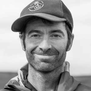
- Top-tier instruction. Luc is an award-winning author and educator. "Luc is, by far, the most thoughtful and conscientious instructor I've ever had the pleasure of working with. He is able to explain things in a way that makes sense, and he cares as much about the experience of his students as he does about their safety." -Eric C.
- Community: Join like-minded folks for weekly discussions and an online forum.
- Stewardship and ethics: Growing up in a half-native community in rural Alaska, Luc learned the value of wild lands and the importance of respectfully visiting them. Respectful visitation is woven into all aspects of this course.
Former participants and clients

Sam Alexander
Mountain Guide and Former US Special Forces Detachment Commander
I have planned and executed high-level Special Operations combat missions as well as complex backcountry guided tours and I will outright say that taking a course from Luc has made me a better operational planner. And as an Alaskan Native, I appreciate the thought and care he puts in his approach to stewardship of the land and his sincere desire to be a good neighbor.
If you want to take your backcountry planning to the next level, spend some time with Luc.
What is the time commitment?
How is the course organized?
Is this only useful in Alaska?
What experience is required?
How long will I have access to the content?
What will I gain from the course?
Are there any other expenses?
Can't I just figure this stuff out on my own?
What are the instructor's credentials?
Questions?
Shoot me a message.
